|
| *****SWAAG_ID***** | 980 |
| Date Entered | 26/02/2017 |
| Updated on | 26/02/2017 |
| Recorded by | Tim Laurie |
| Category | Geological Record |
| Record Type | Geomorphology |
| Site Access | Public Access Land |
| Record Date | 24/02/2017 |
| Location | East of Crawlaw Beck. At side of moorland track close to the Crawlaw Stone |
| Civil Parish | Cotherstone |
| Brit. National Grid | NY 9341 1653 |
| Altitude | 398m |
| Geology | On moorland surface above stream cut ravine littered with erratic boulders of coarse gritstone of more local origin |
| Record Name | Cotherstone Moor. Shap erratic boulder on side of track close to the Crawlaw Stone east of Crawlaw Beck Gill |
| Record Description | Small shap erratic boulder 0.5*0.4*0.5 approximately on moorland track on the eastern side of Crawlaw Gill close to the Crawlaw Stone (See also Swaag Record 663) which is also an erratic boulder of coarse gritstone of more local origin. |
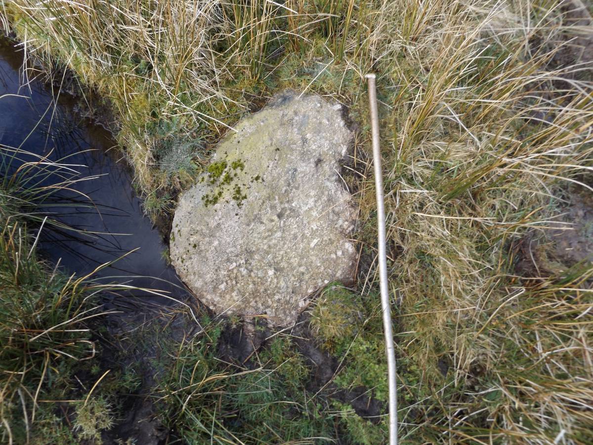
| Image 1 ID | 7220 Click image to enlarge |
| Image 1 Description | Small Shap erratic boulder on track east of Crawlaw Beck close to the Crawlaw Stone | 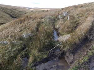 |
| Image 2 ID | 7221 Click image to enlarge |
| Image 2 Description | Small Shap erratic boulder on track. Detail. | 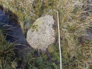 |
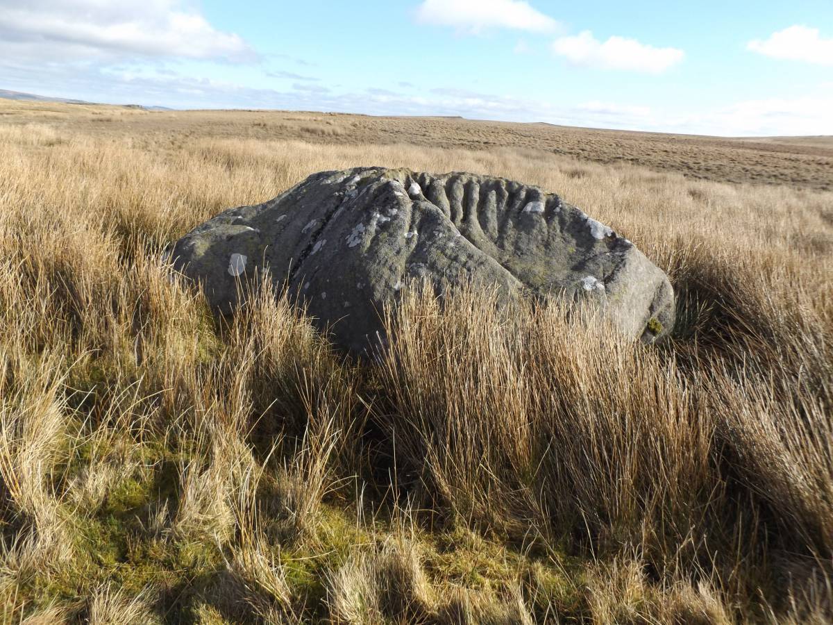
| Image 3 ID | 7222 Click image to enlarge |
| Image 3 Description | The Crawlaw Stone. A large weathered erratic boulder of gritstone of more local origin. See also SWAAG Record No 663. | 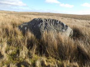 |